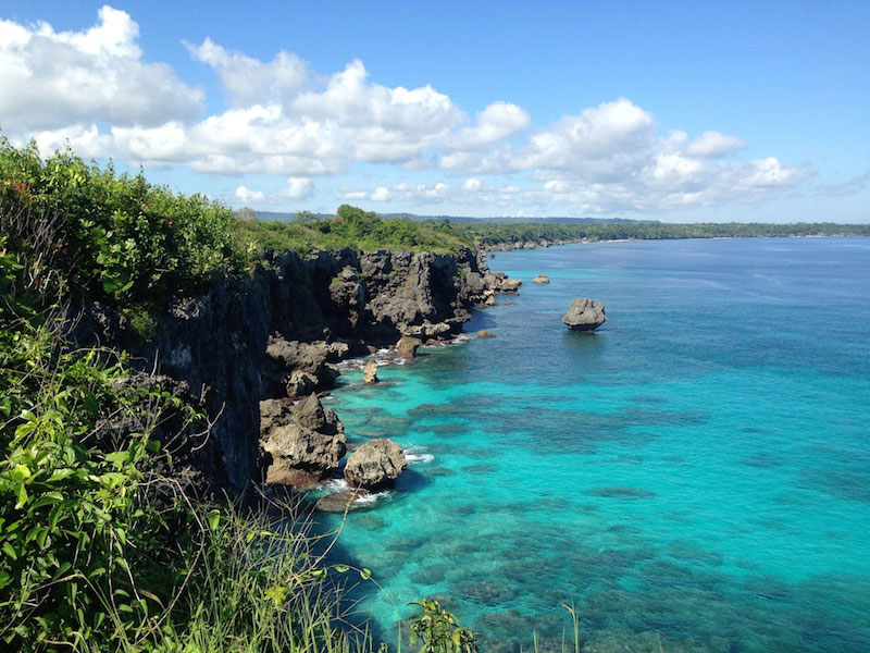
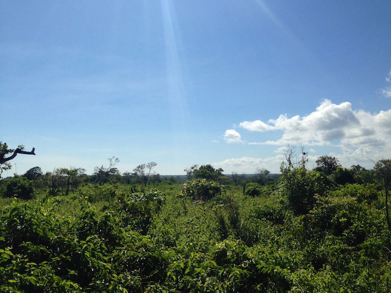
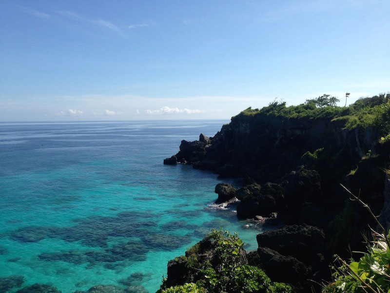
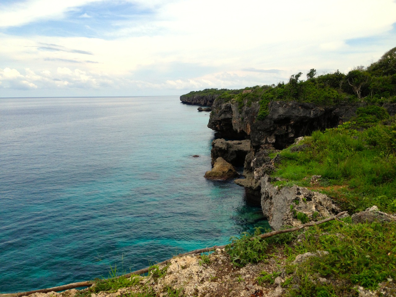
Just minutes from the Tambolaka airport (Waitabula), this 2 hectare land is perfect for a villas complex, a hotel or just a great investment opportunity. Amazing potential in a very fast developing area.
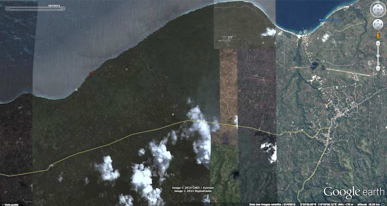
Coast road being build all along the Western coast, time to Tambolaka airport is 25 minutes by exsisting road, will be under 10 minutes as soon as the road is finished (next year).
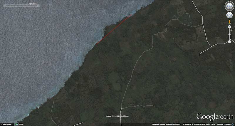
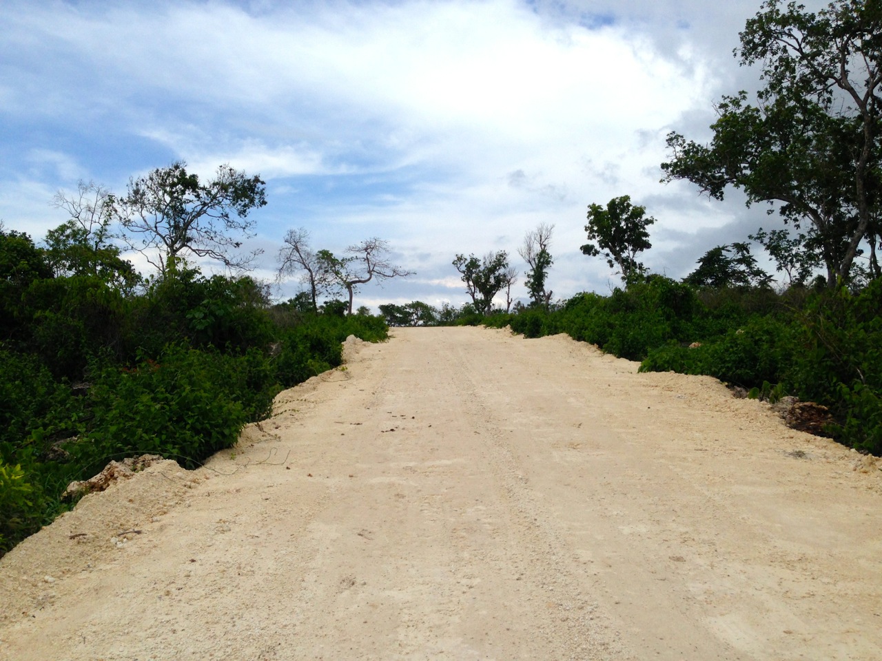
This new government road runs along the back of the land and can be seen on the pictures or videos.
Electricity was non-existent in most areas until recently, power cables are now being installed along the new coast road.
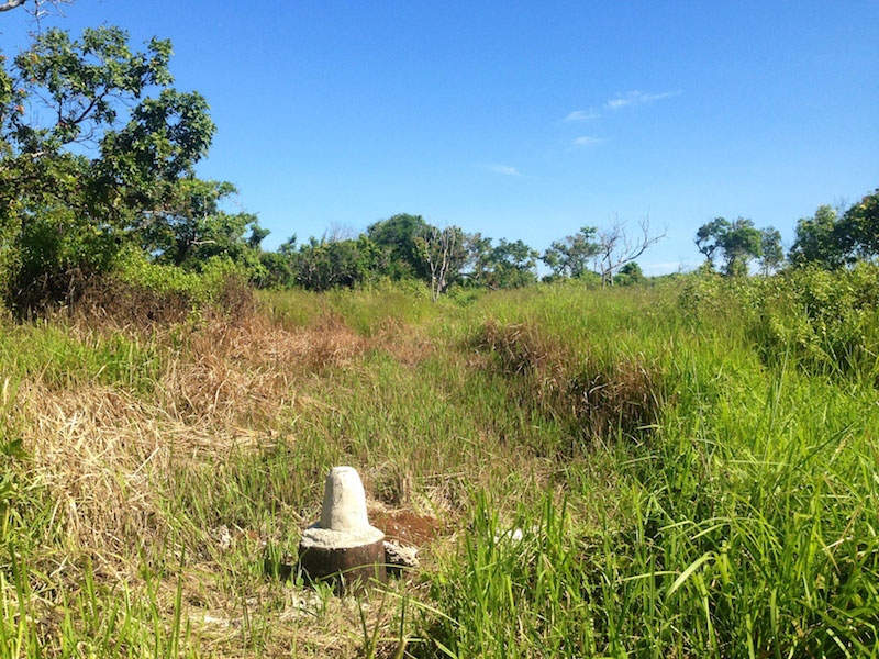
Water can be found by digging into the soil.
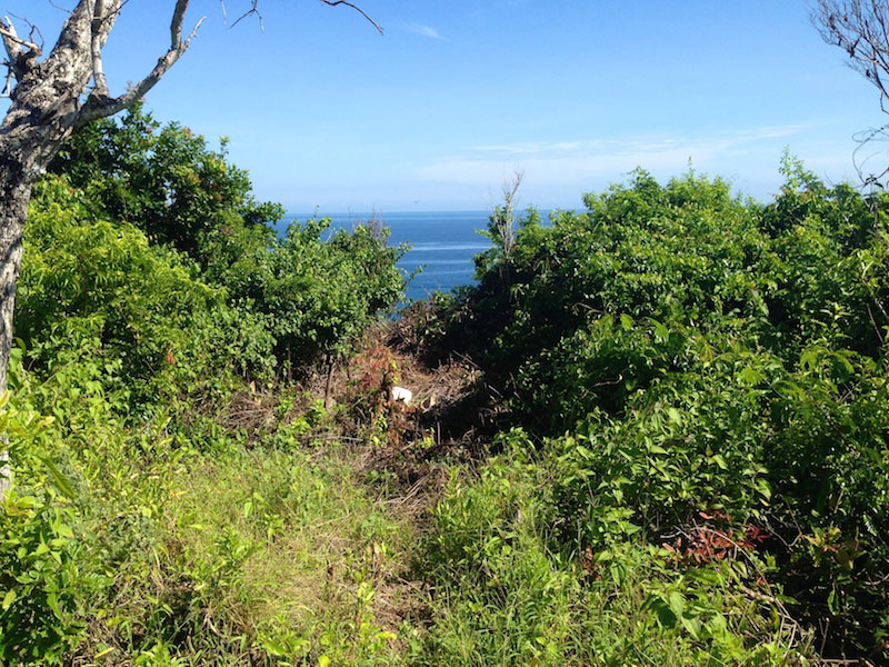
Type of land: cliff
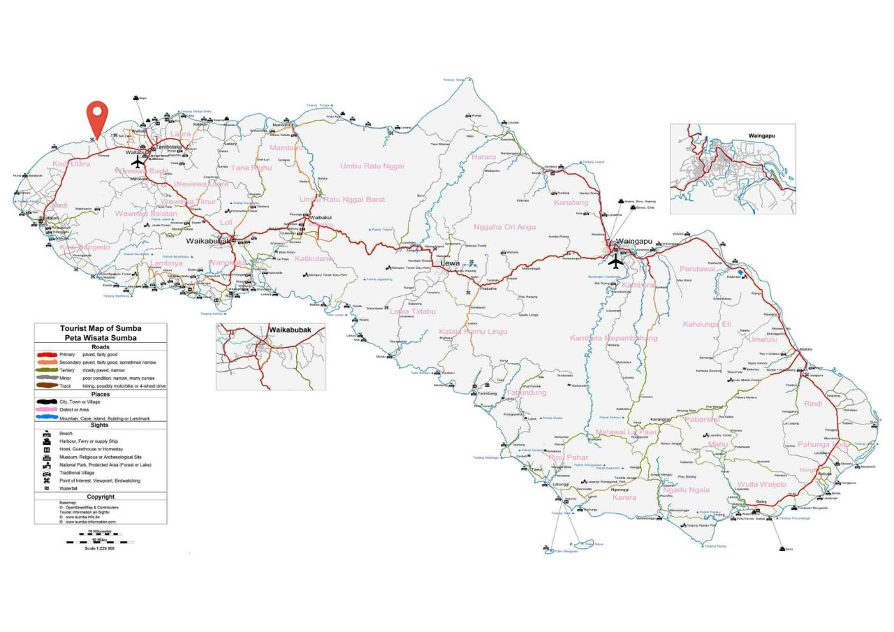
Location: Tambolaka, north-west Sumba
Distance from the land to Tambolaka airport: 10 minutes drive upon completion of Jalan Raya Pantura
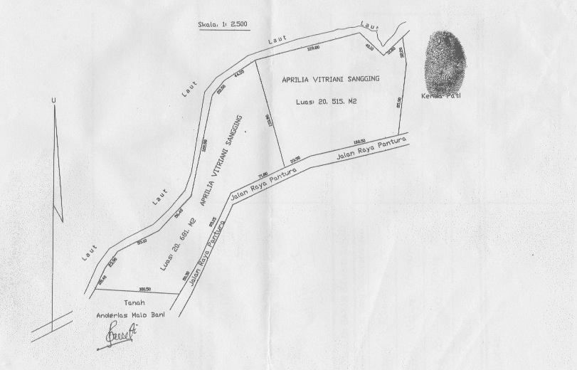
Land size: 2,06 hectares (20681m2)
Oceanfront: 353 meters
Price: price on application
Title: freehold
The total land we own is 41196m2. The next plot of 20515m2 is also available on the right side(see the land survey below)
Downloads:
you can download the whole package including pictures, videos, maps and land survey:
Click here to download the package with the higher quality video (encoded with small compression, 29 Mo)
Package with large video
Click here to download the package with the lower quality video (encoded with higher compression, 10 Mo)
Package with small video
General informations:
Sumba is an island in eastern Indonesia, is one of the Lesser Sunda Islands, and is in the province of East Nusa Tenggara. Sumba has an area of 11,153 km2, and the population was 656,259 at the 2010 Census. To the northwest of Sumba is Sumbawa, to the northeast, across the Sumba Strait (Selat Sumba), is Flores, to the east, across the Savu Sea, is Timor, and to the south, across part of the Indian Ocean, is Australia.
Sumba Culture:
The Sumbanese people speak a variety of closely related Austronesian languages, and have a mixture of Austronesian and Melanesian ancestry. The largest language group is the Kambera language, spoken by a quarter of a million people in the eastern half of Sumba. Twenty- five to thirty percent of the population practises the animist Marapu religion. The remainder are Christian, a majority being dutch Calvinist, but a substantial minority being Roman Catholic. A small number of Sunni Muslims can be found along the coastal areas. The largest town on the island is the main port of Waingapu, with a population of about 52,755. The landscape is low, limestone hills, rather than the steep volcanoes of many Indonesian islands. There is a dry season from May to November and a rainy season from december to April. The western side of the island is more fertile and more heavily populated than the east.
Sumba eco-facts:
Due to its distinctive flora and fauna Sumba has been categorised by the World Wildlife Fund as the Sumba deciduous forests ecoregion. Originally part of the Gondwana southern hemisphere supercontinent Sumba is within the Wallacea ecozone, having a mixture of plants and animals of Asian and Australasian origin. Most of the island was originally covered in deciduous monsoon forest while the south-facing slopes, which remain moist during the dry season, were evergreen rainforest.
There are a number of mammals but the island is particularly rich in birdlife with nearly 200 birds, of which seven endemic species and a number of others are found only here and on some nearby islands. The endemic birds include four vulnerable species: the secretive Sumba Boobook owl, Sumba Buttonquail, Red-naped Fruit-dove and Sumba Hornbill as well as three more common species: the Sumba Green Pigeon, Sumba Flycatcher, and Apricot-breasted Sunbird.
Please click on the pictures below for full size:
Interested in Real-Estate ? Check out our other lands for sale or lease in other Indonesian islands (Bali, Gili Air…): www.01islands.com


